Underground Spaces and Hidden Staircases of the Basilica of Sant'Andrea
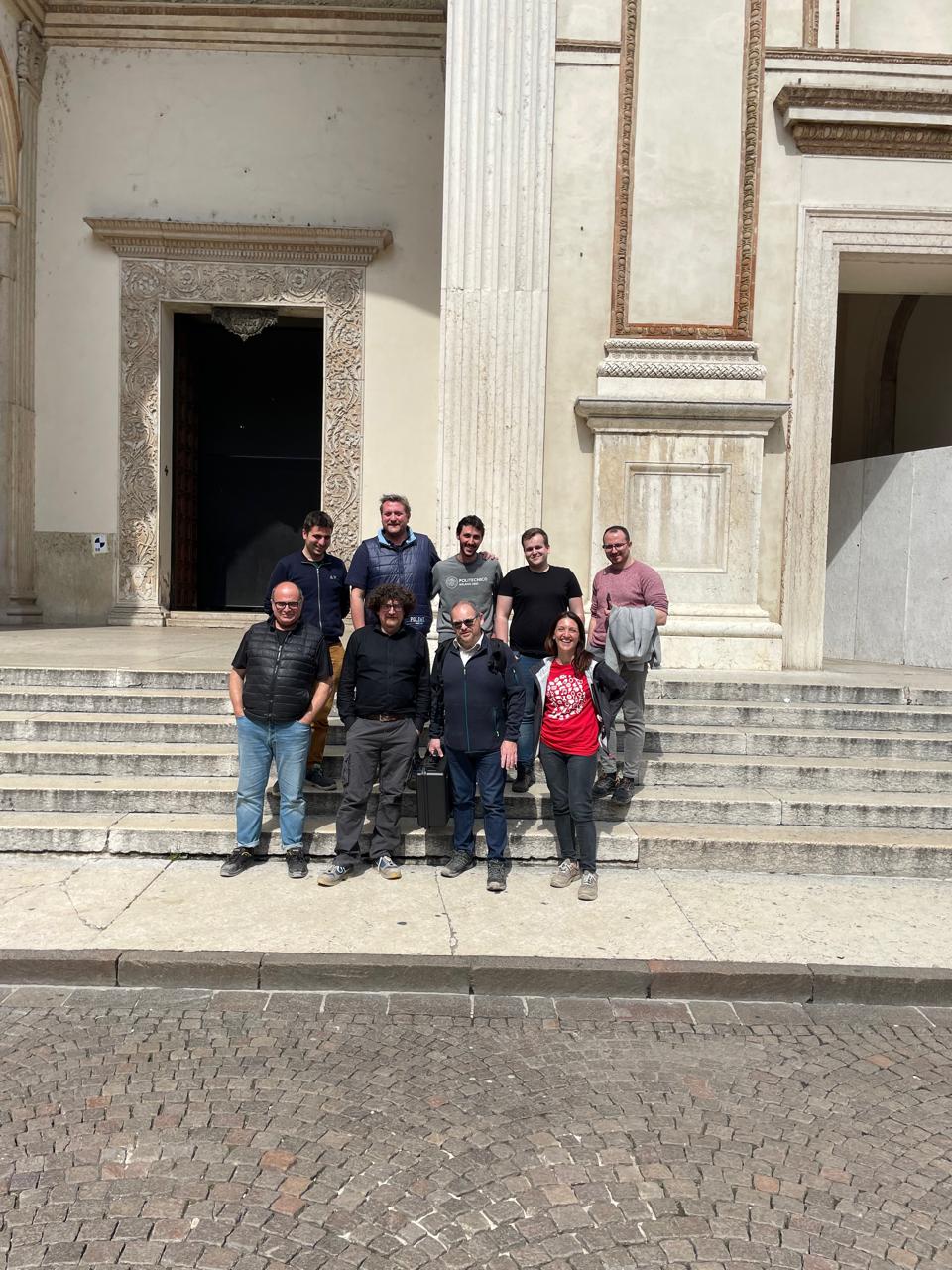
Scientific Directors: Andrea Adami, Francesco Fassi, Luigi Fregonese
Collaborators:
- Jacopo Helder, Laura Taffurelli – Unesco Research Lab
- Ahmad Elalailyi – 3DSurveyGroup, PoliMi ed FBK Trento
- Luca Perfetti – DICATAM, Università degli studi di Brescia | UniBS
- Antonio Mainardi – Gexel
- Paweł Trybała – 3D Optical Metrology, Fondazione Bruno Kessler | FBK
Partners: Diocesi di Mantova, Provincia di Mantova
Contacts: unescolab-mantova@polimi.it
Project year: 2024
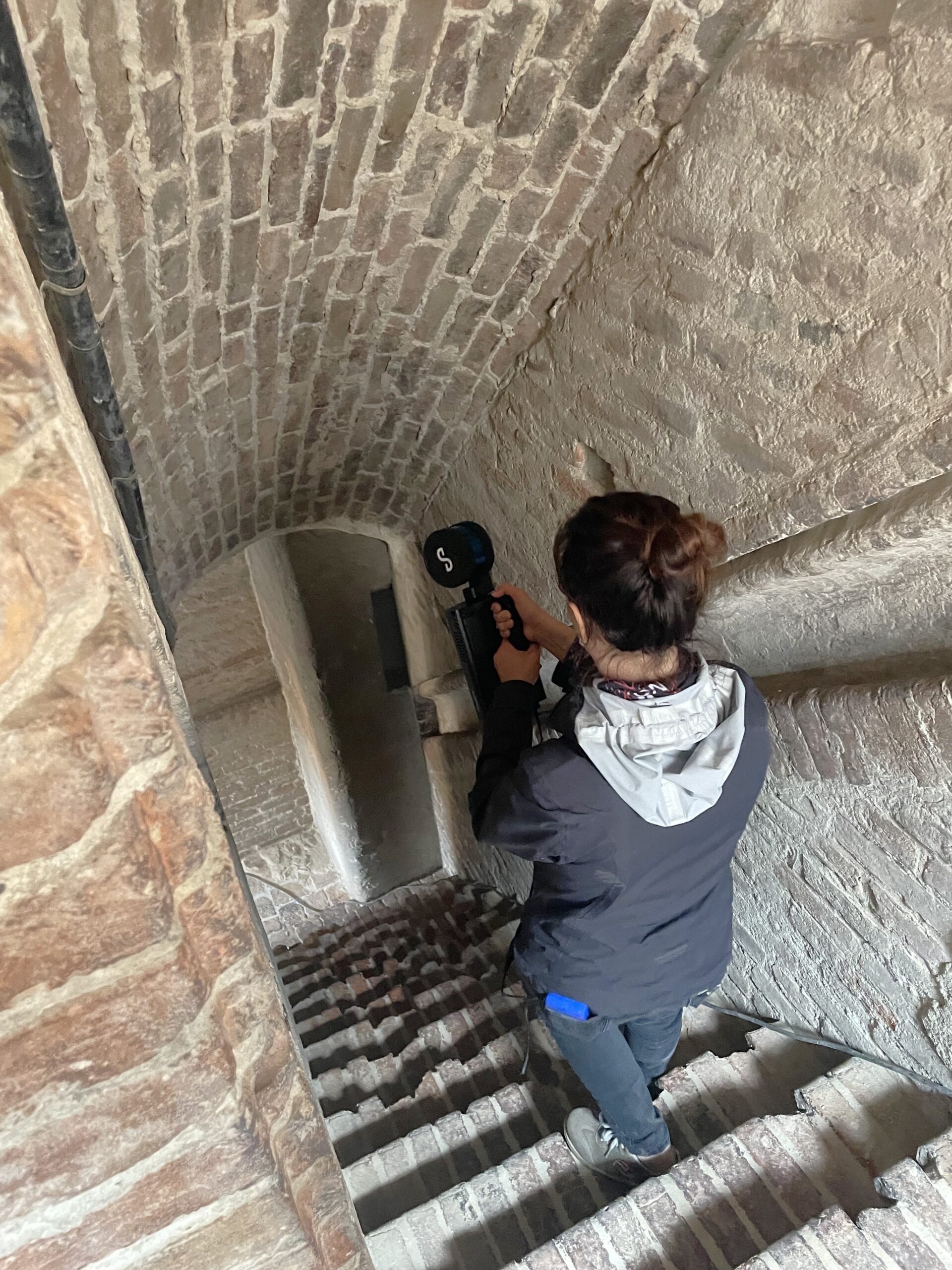
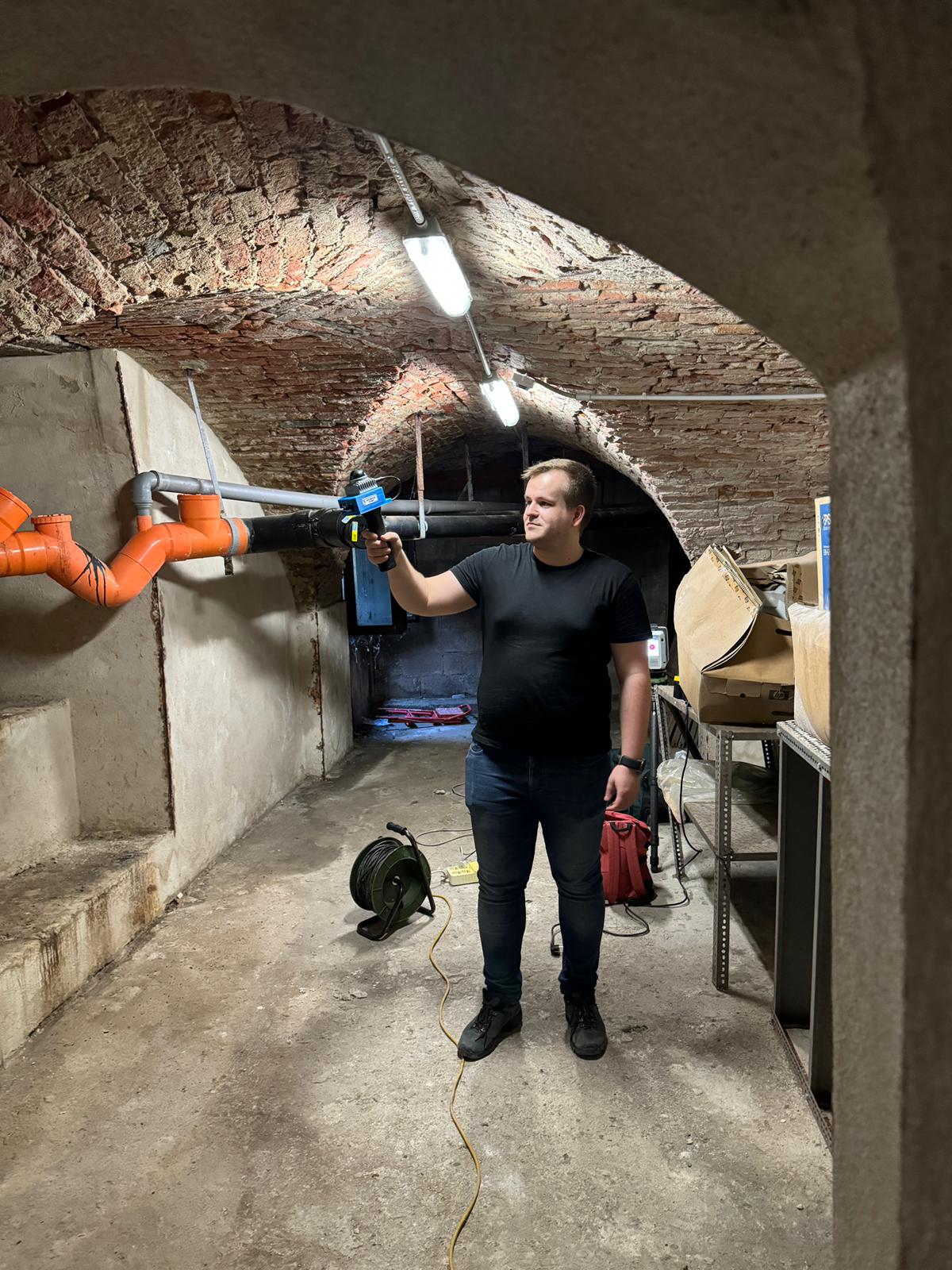
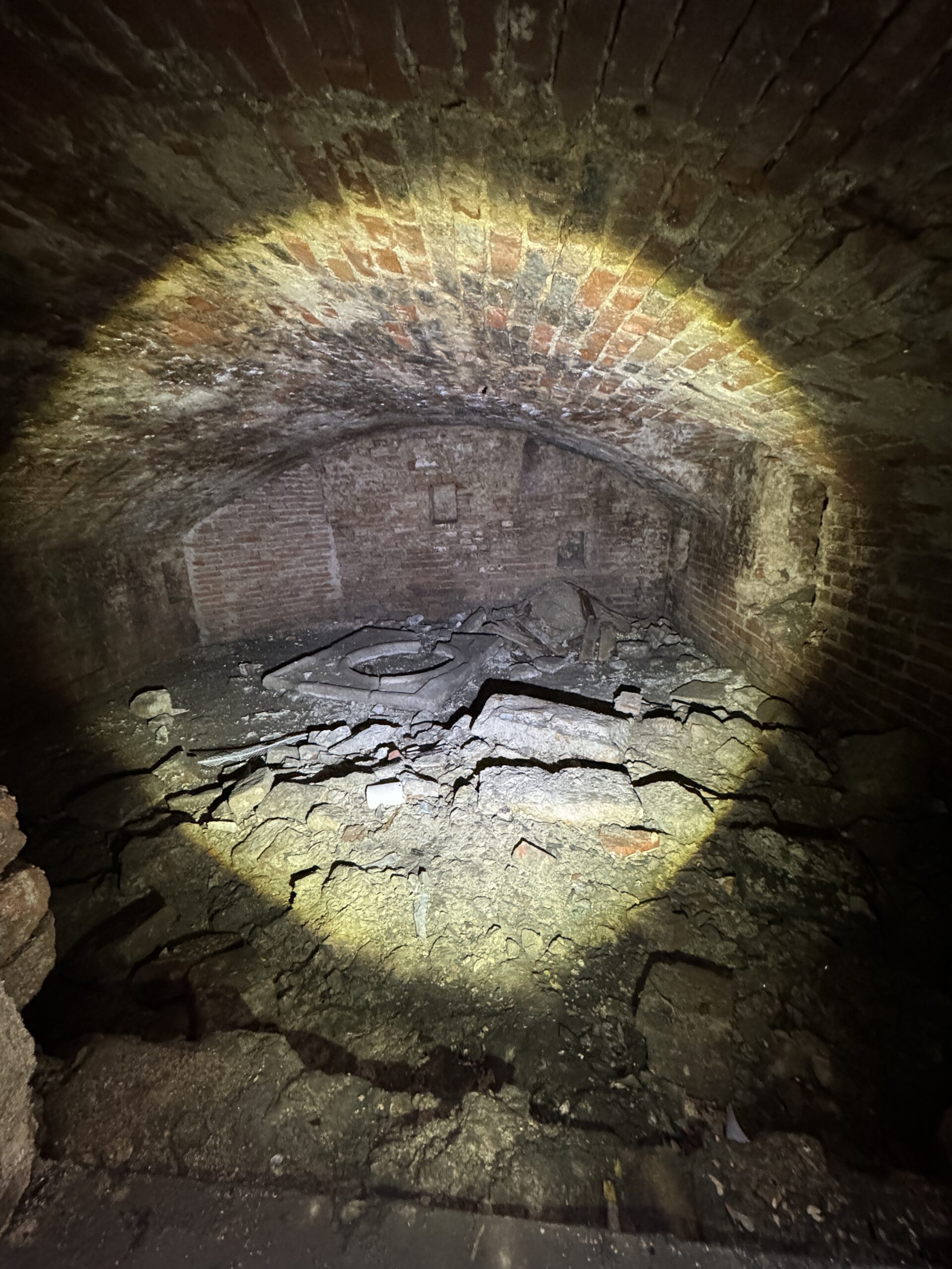
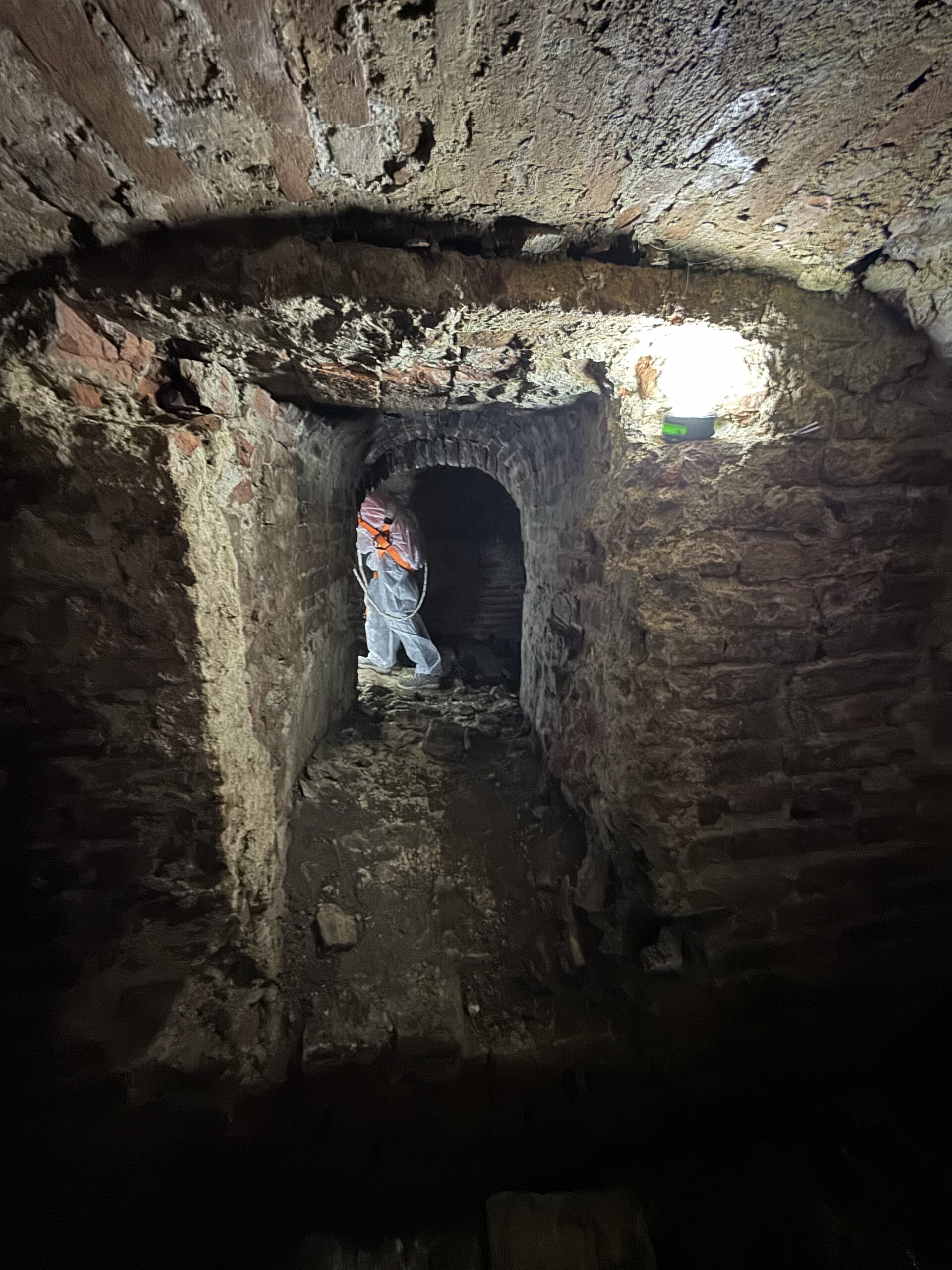
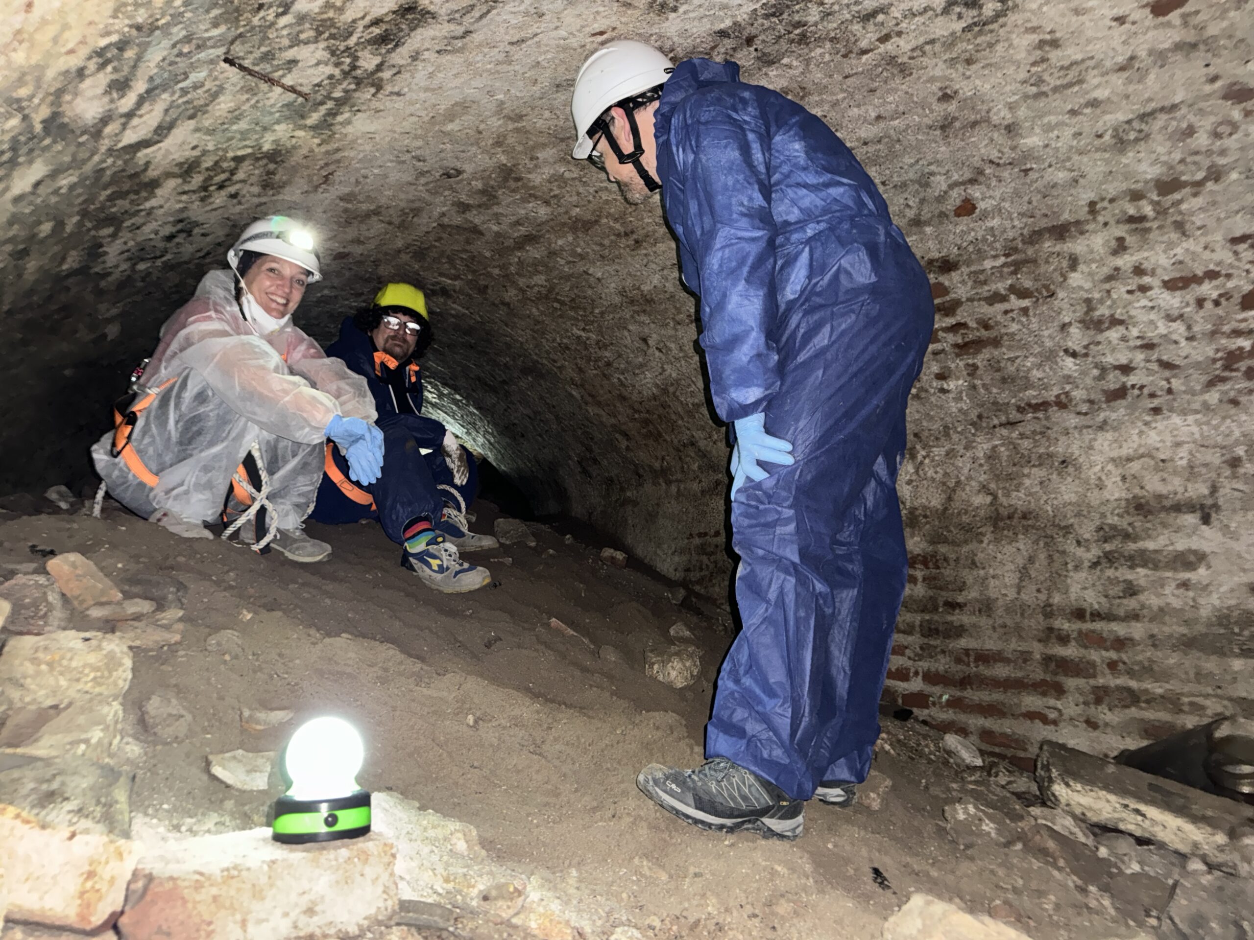
The digitization of narrow and difficult-to-access spaces such as tunnels, underground environments, and “hidden” staircases in historical architectures is always a challenge for those who document, inspect, or monitor these places. However, it is also an essential element for understanding their genesis, history, and design.
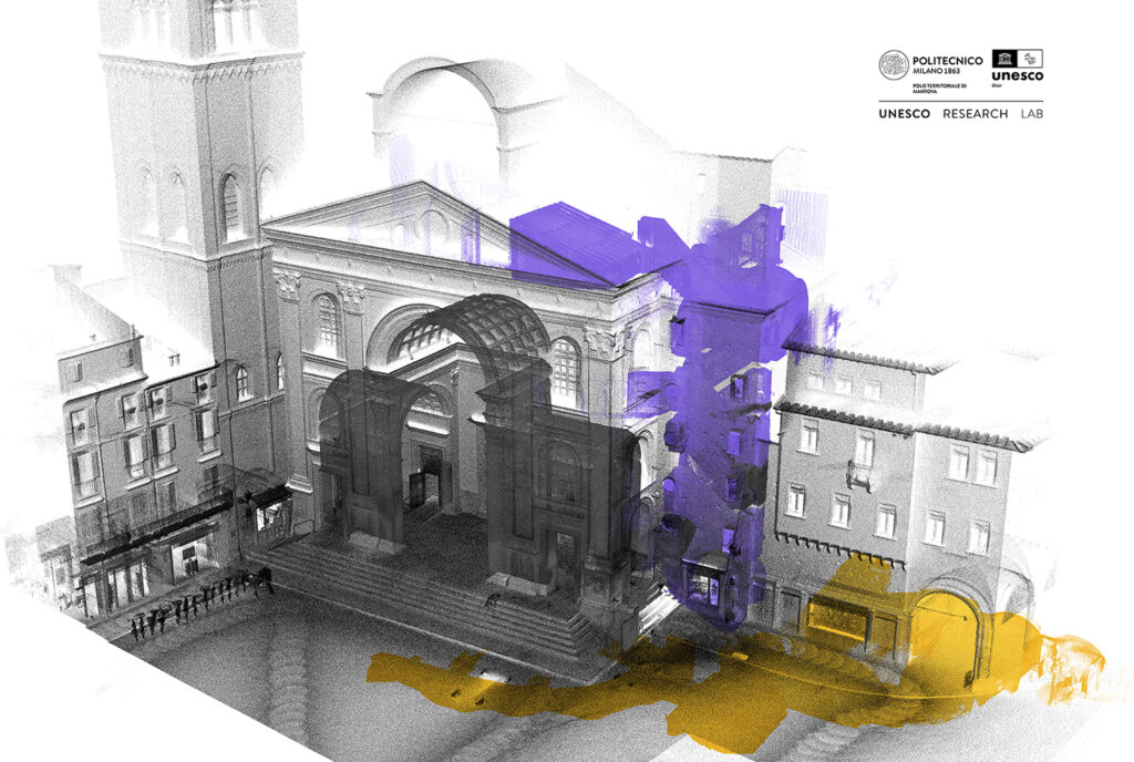
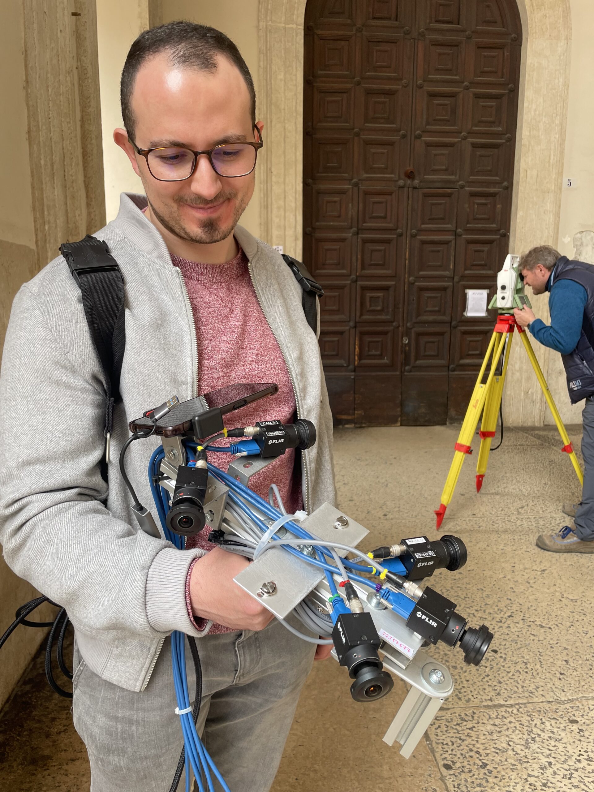
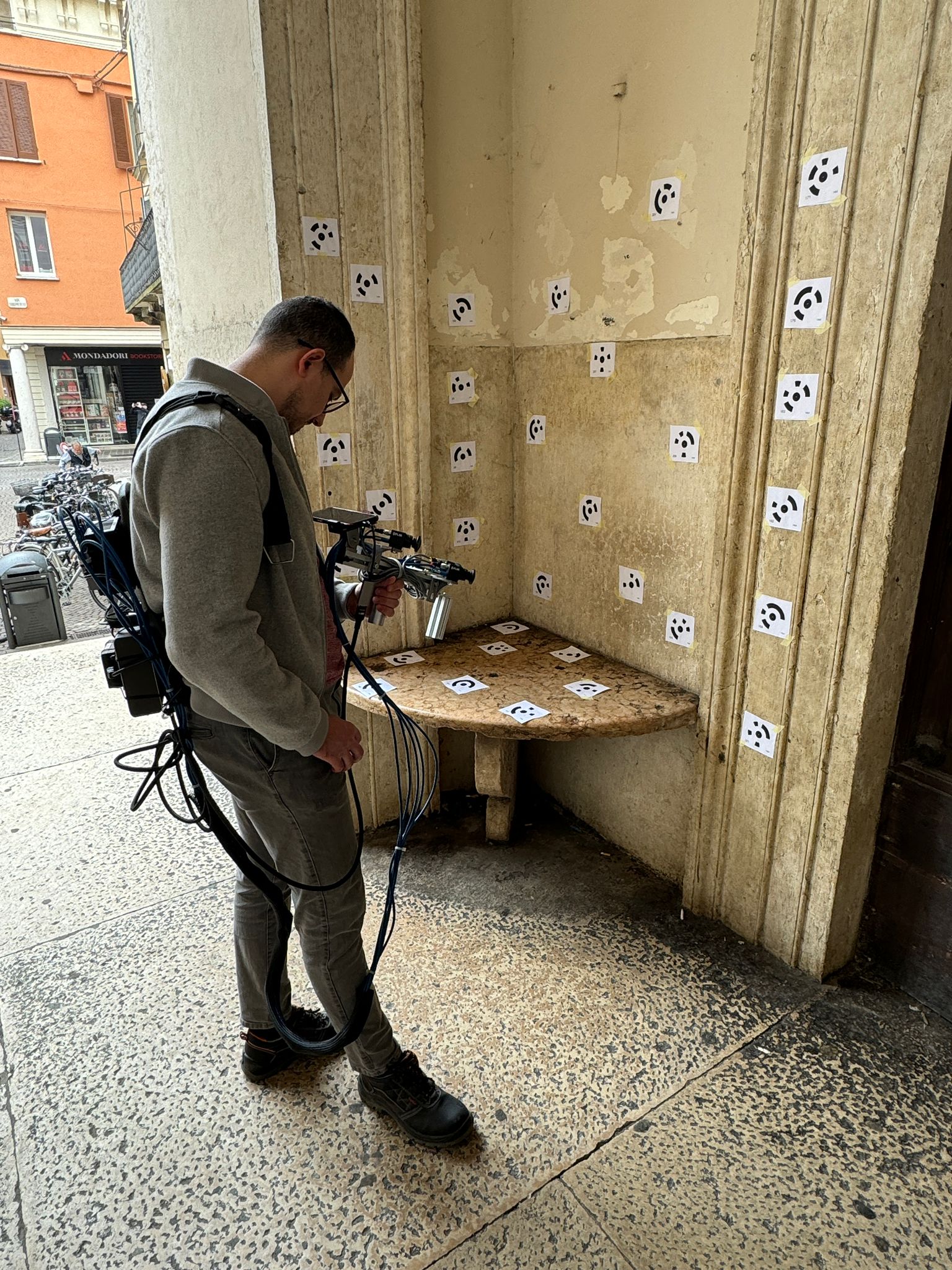
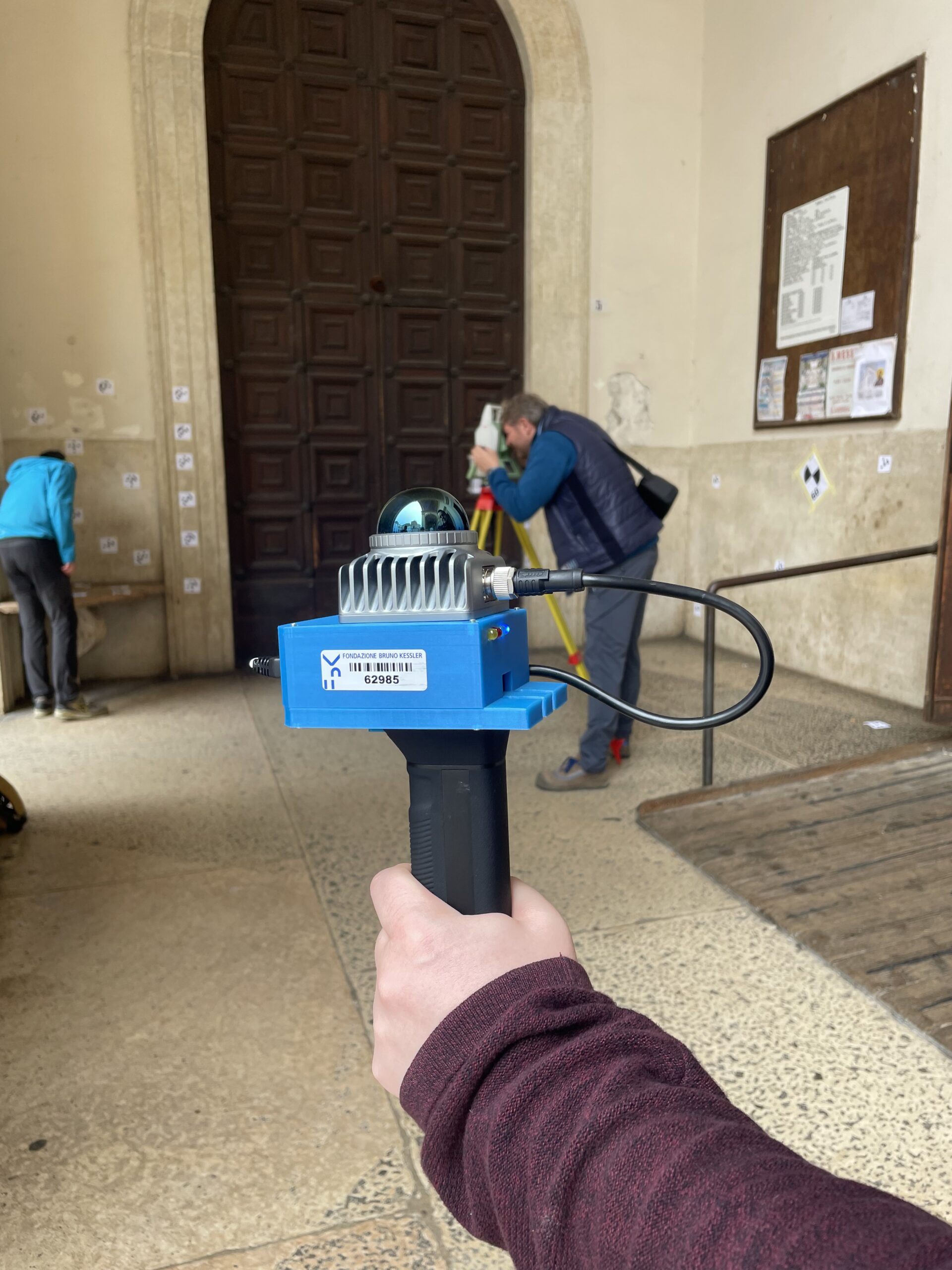
The Geomatics team of the UNESCO Research Lab, in collaboration with the University of Brescia and the Bruno Kessler Foundation, are utilizing advanced surveying techniques to 3D digitally capture underground and hidden spaces near the main façade of the Basilica of S. Andrea in Mantua.
This project is part of a larger initiative focused on the “recovery, enhancement, and inclusivity” of the Mantua Diocese’s cultural heritage, funded by Fondazione Cariplo and Regione Lombardia.
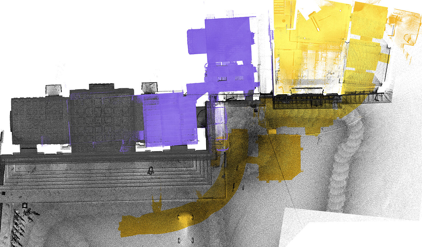
The challenge lies in accurately documenting these confined and complex environments using both LiDAR-SLAM and Visual-SLAM technologies. These techniques allow researchers to simultaneously map their surroundings while in motion, offering a much faster and more agile approach compared to traditional methods. Using four different instruments based on these technologies, the researchers have collected data to generate a 3D point clouds – database. This research is an opportunity to experiment and compare cutting-edge technologies, which are increasingly taking hold in the field of surveying. In the next phases, the experimental data will be verified and geolocated to allow for various uses.
The knowledge of the underground spaces, for example, is useful both from a structural point of view, for the modeling of the static behavior of the façade and adjacent historical buildings, and for geomorphological monitoring and possible interference with infrastructures or urban services.