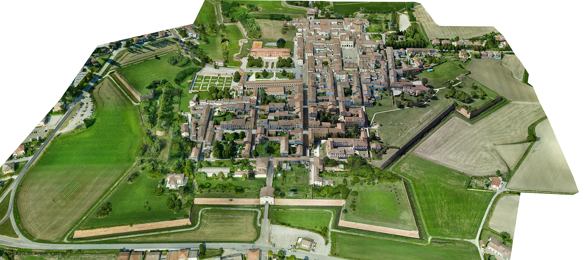
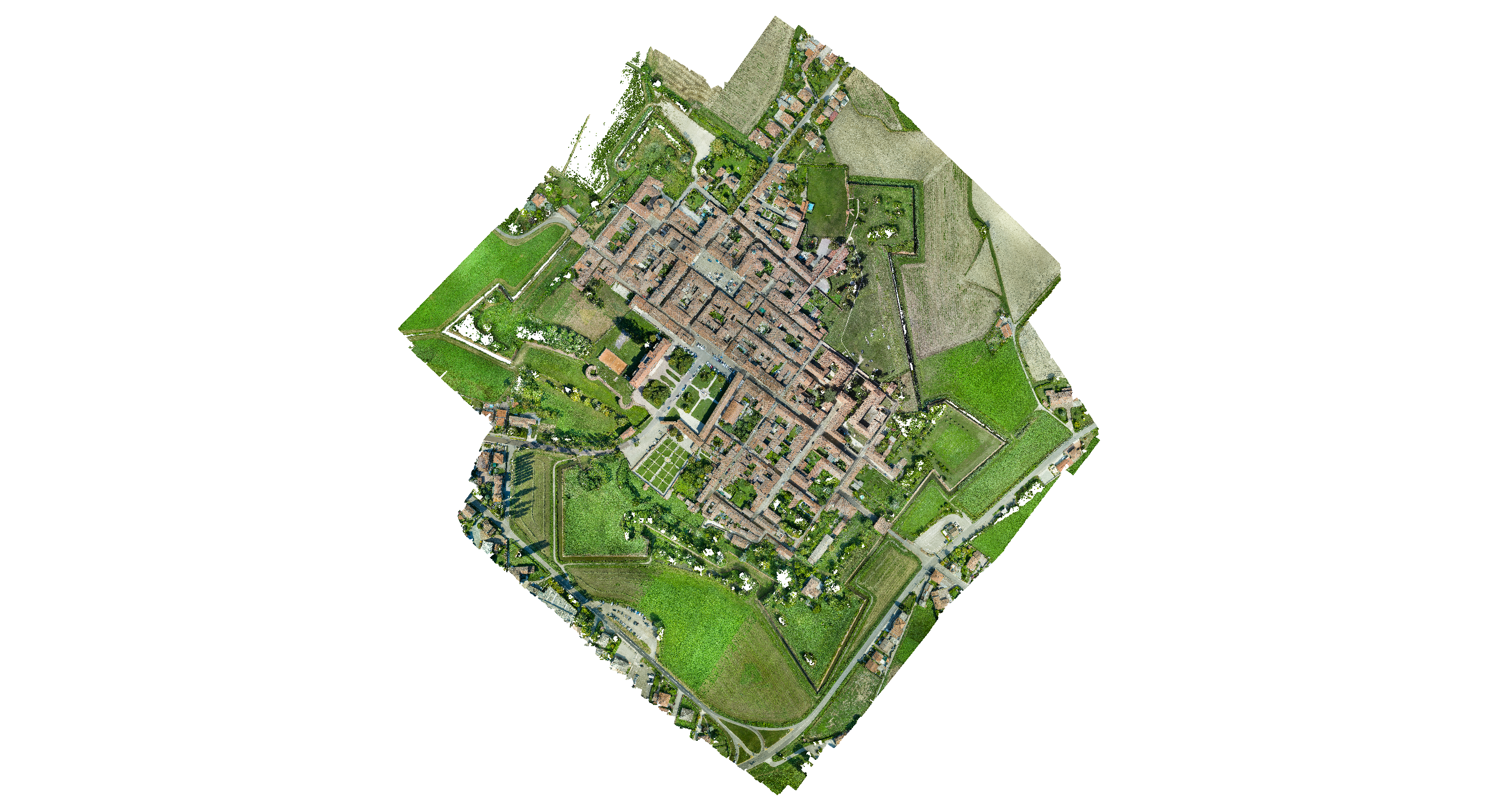
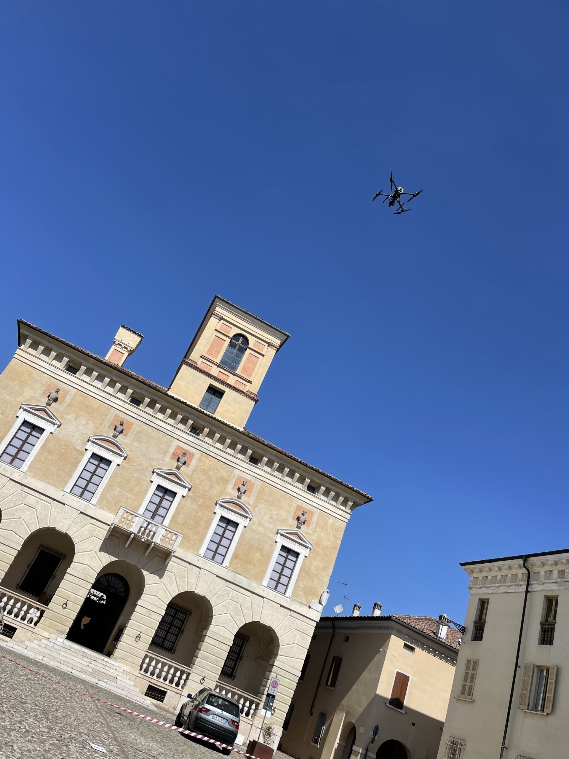
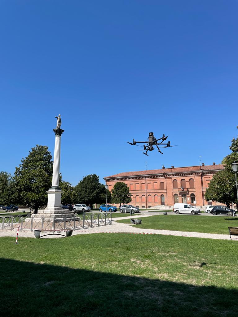
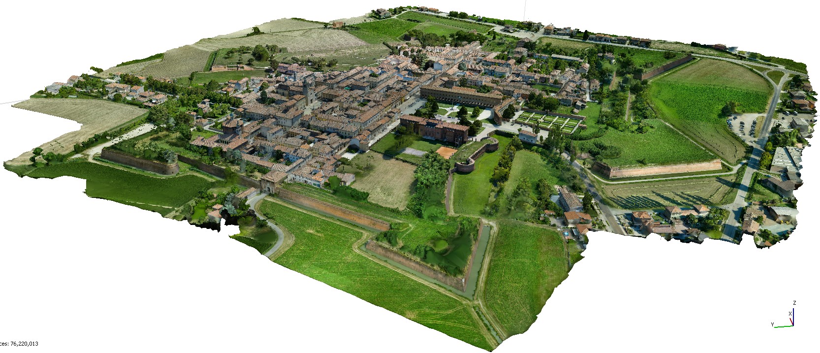
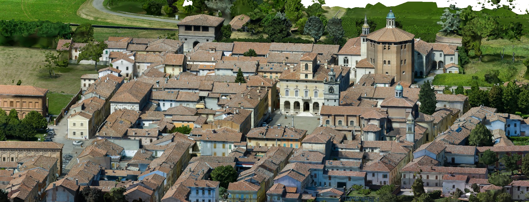
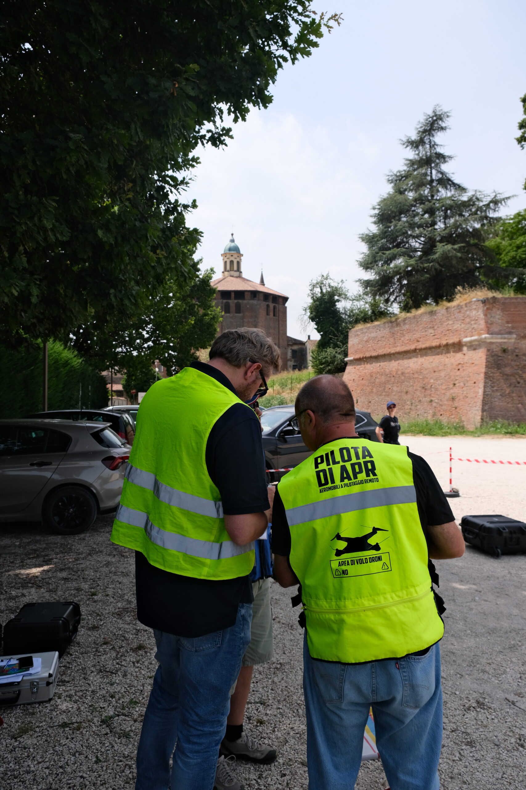
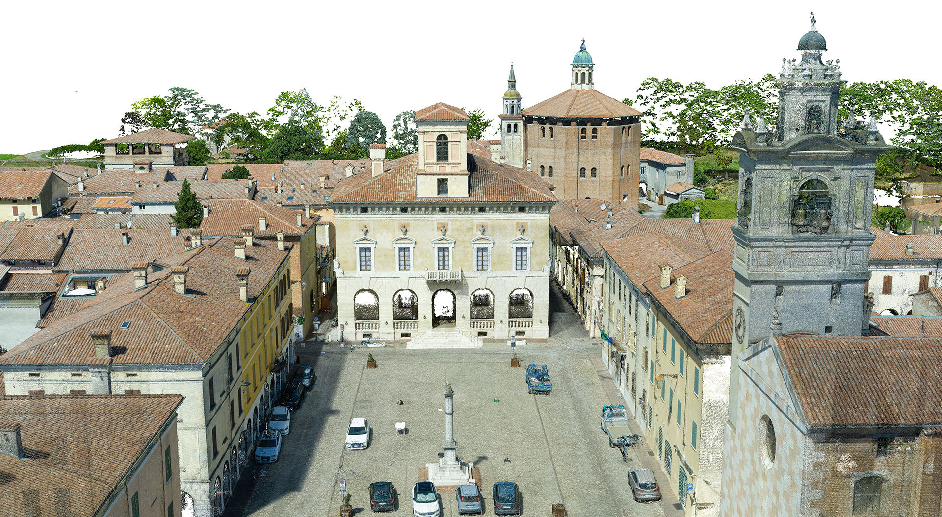
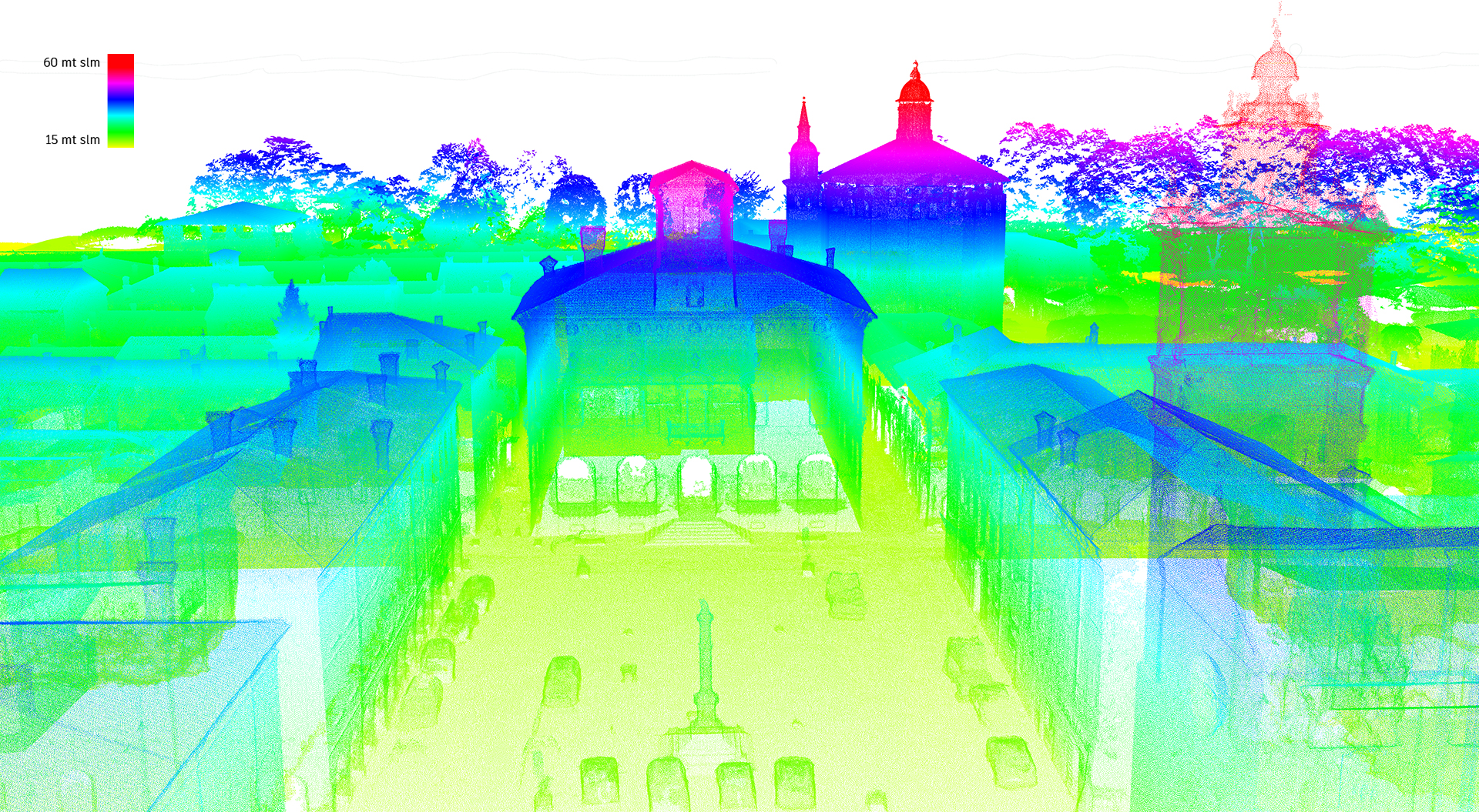
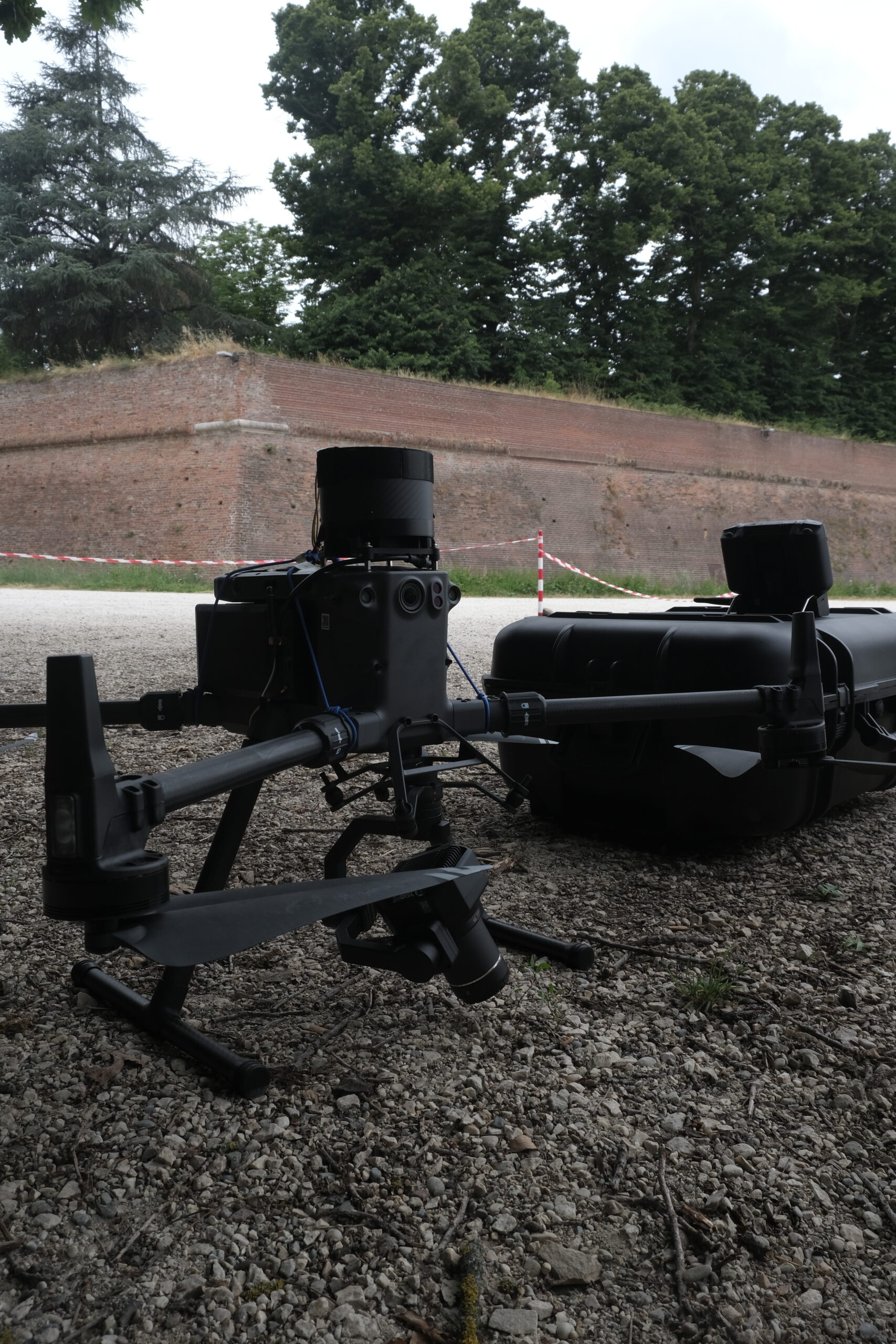
The study of cities and their management is nowadays approached through the use of the digital twin, which is a digital representation of the territory, accompanied by information linked to it, useful for decision making stages. In order to develop a digital twin, however, it is first necessary to know the city thoroughly, and the starting point is a geometric survey of the entire area of interest. To do this, we used the DJI Matrice 300 RTK drone, mounting a 45 MP camera (DJI Zenmuse P1). The city was surveyed in agreement with the local police, who helped with vehicular and pedestrian traffic management. The photographs were used to obtain, by a photogrammetric process, the high density point cloud, mesh model and orthophoto of the city.